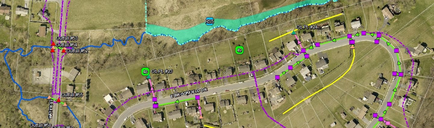
GIS Mapping & Asset Management

Geographic Information System (GIS) is a powerful tool used to organize large amounts of data into one easily accessible digital map and database.

With GIS, accurate mapping of infrastructure assets such as water and sewer lines, roads, utility poles, storm sewers, signage and more is combined with interactive access to the data used for the maintenance, planning and tracking of these assets.

GIS can be used to model infrastructure systems and show compliance with government regulations. The data associated with an asset can include photos, maintenance history, inspection reports or virtually any data which is compiled into a separate file system. The grouping of asset data with maps saves time and costs by storing information centrally in a database that can be easily accessed to provide specific information a user may need. With GIS, infrastructure assets can be sorted by installation date, location, dimensional characteristics, etc. The database can be designed to store almost any asset characteristics necessary. A user can query specific information such as assets due for maintenance or replacement and create a customized report in a matter of seconds.

Our GIS services include:

  • Mapping and modeling of water and wastewater systems to identify problem areas, provide flow analysis and show compliance.
  • Develop user-friendly interactive maps with access to files and photos.
  • Develop master plans for private sub-surface utilities for which the PA One-Call system is not responsible.
  • Custom searches and report generation defined by user criteria.
  • Convert paper maps into digital format and group separately stored data into one seamless database.