Projects
 Detweiler Park Phases 3a 3b & 4
Detweiler Park Phases 3a 3b & 4
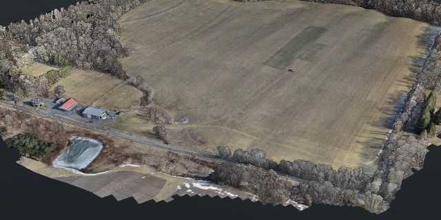
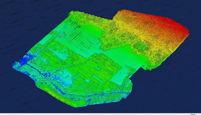
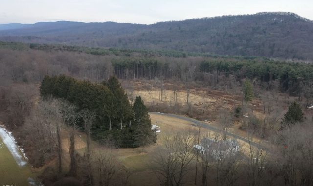
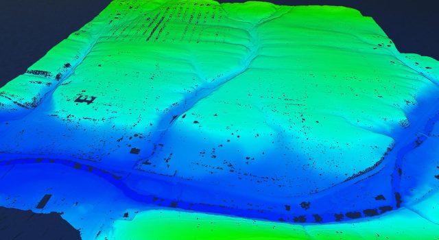
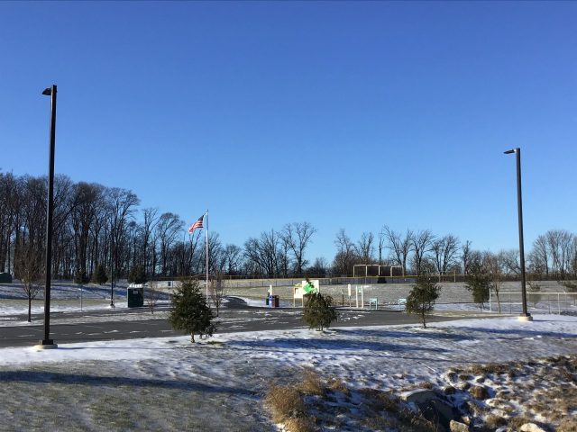
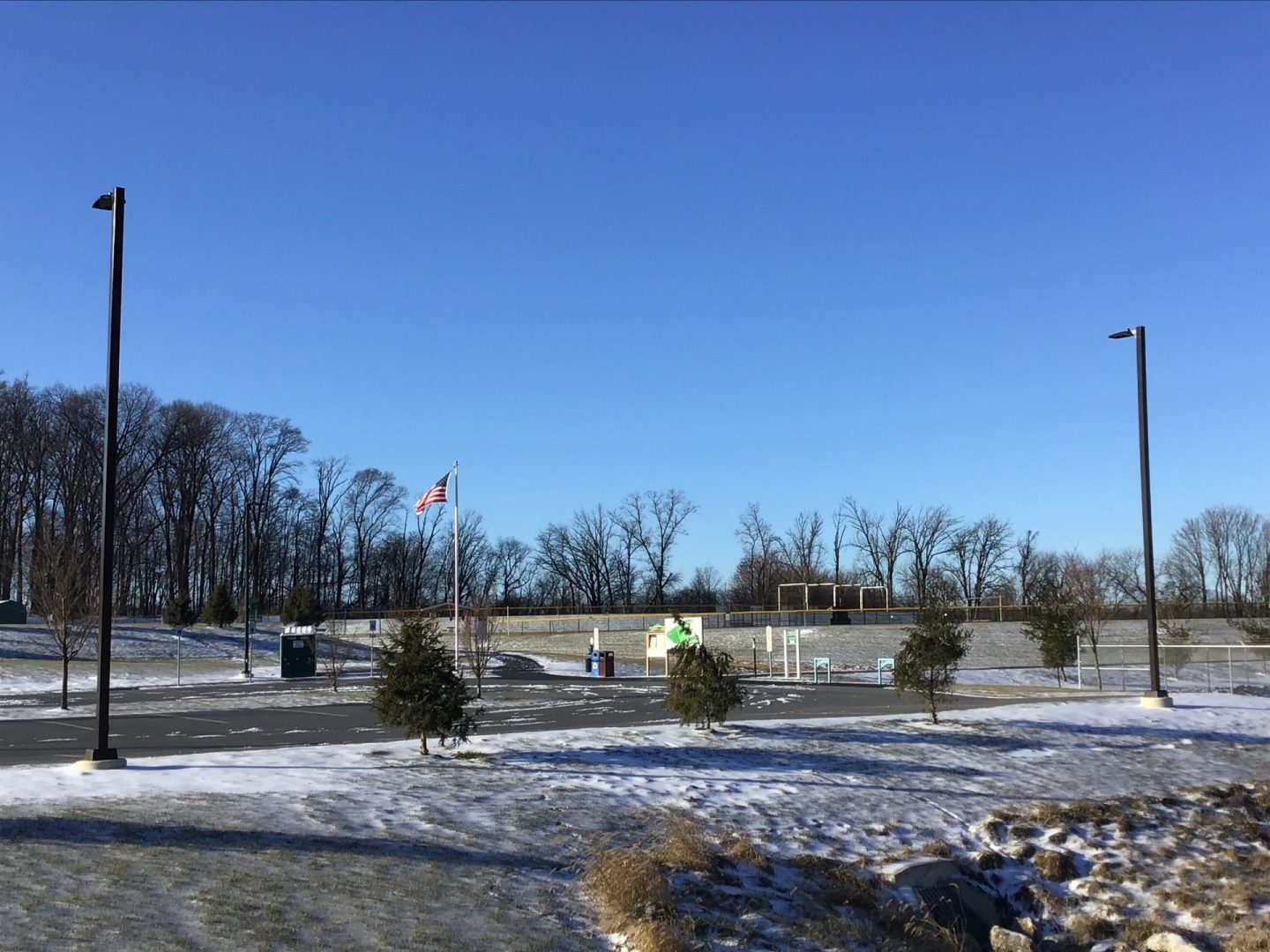
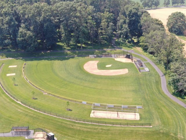
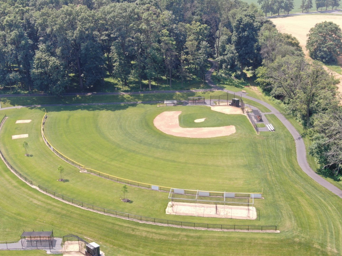
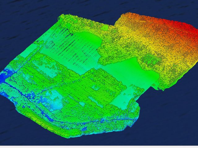
Project Description: Detweiler Park was completed in 2/30/2022. The park is looking at renovate several sections of the park to give guest more activates and commodities. SESI’s drone services were challenged with over 650 acres of drone flight to capture LIDAR data to assist in land development planning and surveying. This project took over a week to complete using the DJI M-300 RTK + DJI L1 LIDAR sensor. This project took 6 separate flights, including 2 large terrain follow flights. Terrain follow flights use a Digital Surface Model (DSM) taken from airplane imagery. The surface created from this allows pilots to plan drone automated missions to follow the tree canopy height. The highest elevation was over 1600ft and the lowest was around 350ft. In total there was over 7 billion LIDAR points captured and over 7,000 images captured on site. These were used to create high resolution images, contours, 3D models, surfaces, and much more.
Highlights:
- SESI’s Largest Aerial LIDAR Survey
- Largest Terrain Follow LIDAR Survey
- 10 Phase Park Restoration
Project Details
Acreage: 650 acres
Address: 1451 Peters Mountain Road Dauphin, PA 17018.
Category: Surveying / Engineering / Land Development
Client: Wilson Consulting Group
Project Type: Aerial Drone LIDAR Survey
 North Cornwall Commons
North Cornwall Commons
Description:
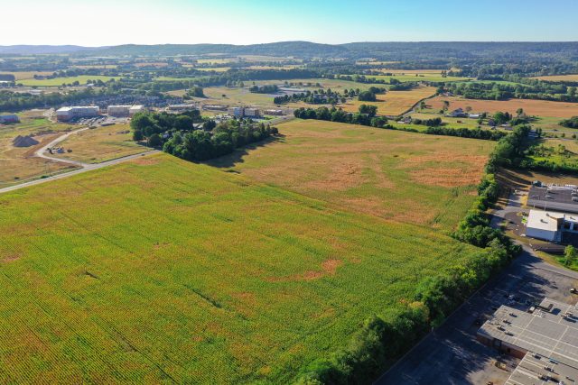
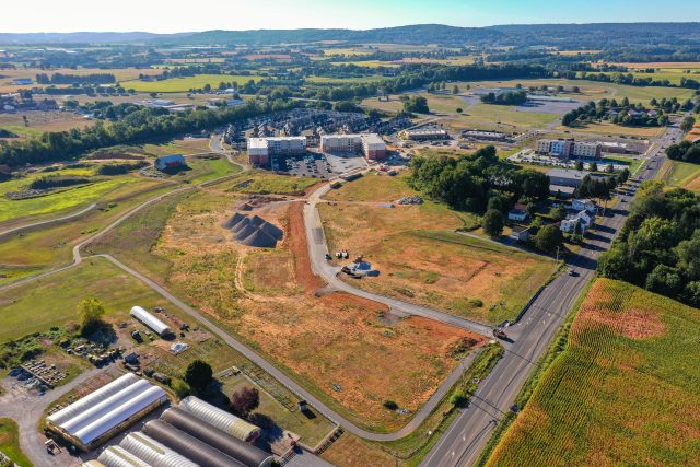
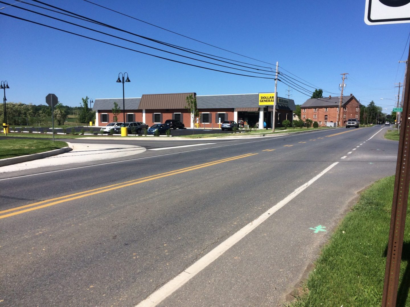
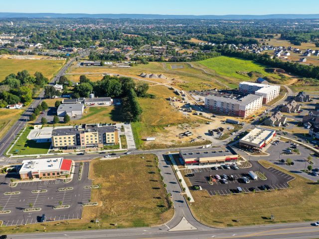
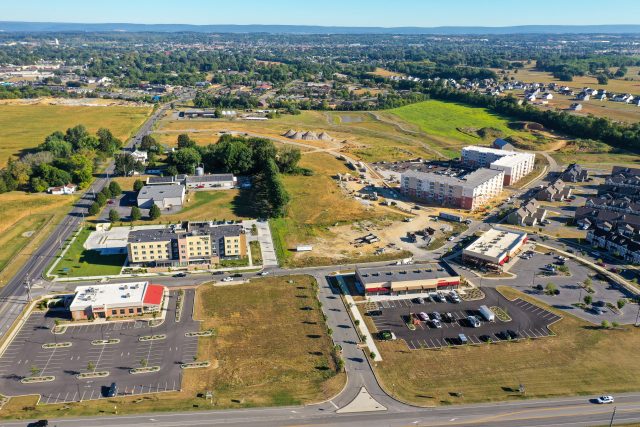
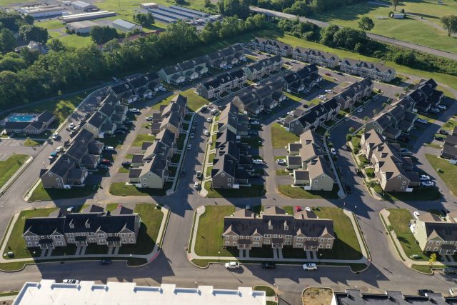
North Cornwall Commons (NCC) is a 275 acre project site that is still under construction. Several lots have been completed, including Micks, Issacs, Fairfield Hotel, apartment complexes, and several roads of townhouses. This site has several phases and has been a test sight for many SESI drone experiments. This project is still ongoing and SESI’s drone crew flies here frequently for marketing material and survey updates.
Highlights:
- Several Land Development Phases
- Photogrammetry and LIDAR flights
Project Details
Acreage: 200 acres
Address: 119 Springwood Dr, Lebanon, PA
Category: Surveying / Land Development
Client: Byler Holdings LLC.
Project Type: Aerial Drone Photogrammetry
 Fredericksburg East Watertower Inspection
Fredericksburg East Watertower Inspection
Description:
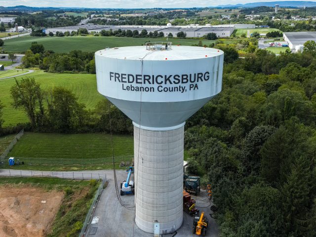
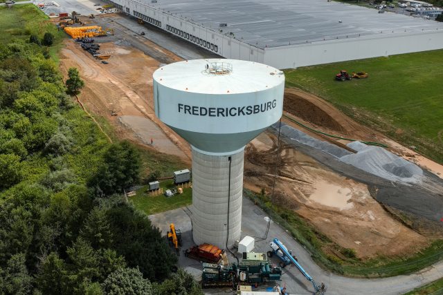
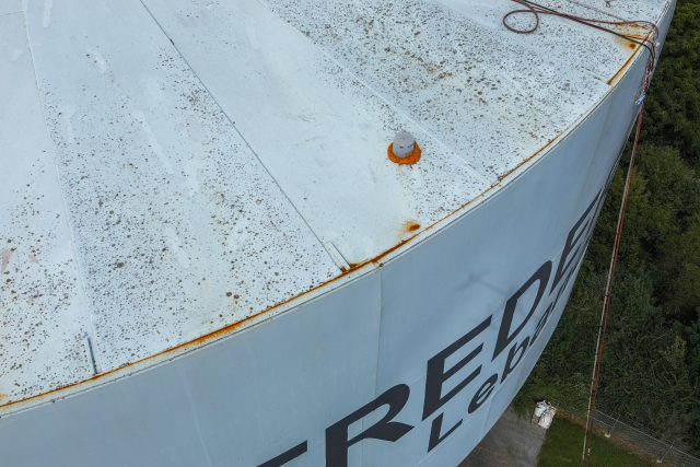
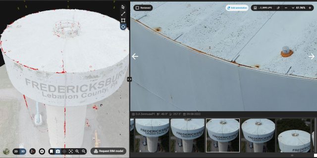
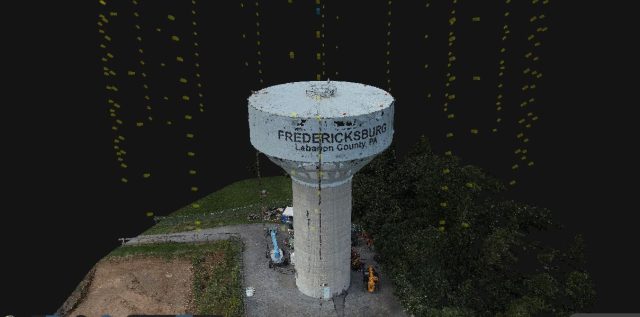
This project was done for a water tower inspection for Fredericksburg east tank. It was being painted at the time of the inspection. This project consisted of flying automated orbits around the tower and creating a 3D model of the tower. This model was able to automatically recognize and point out rust on the structure. This 3D model also used a software that was key for inspectors to take closer looks at the spots of interest. This project was flown with the DJI M-300 drone with the DJI P1 camera attached. This camera has 45 megapixel images so all images taken were very high resolution for zoomed in shots of the model. In addition to this, a zoom camera was used to collect high resolution grids of the water tower in order to get zoomed in shots of the entire tank for inspection purposes.
Project Details
Acreage: 15
Category: Inspection
Client: Fredericksburg Township
Project Type: Drone Inspection
 Fairlane Ave Park Survey
Fairlane Ave Park Survey
Description:
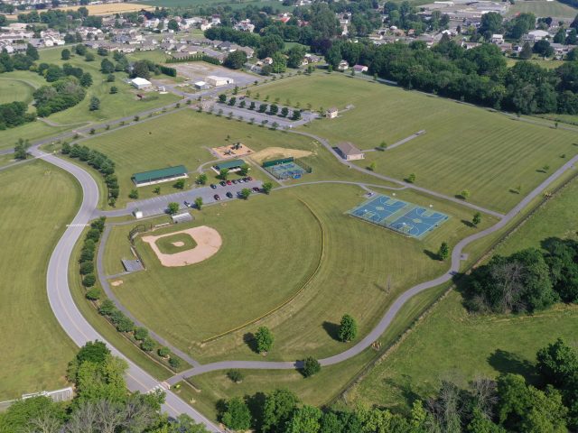
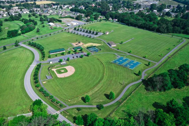
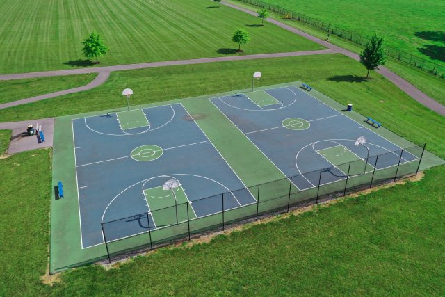
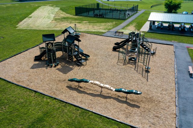
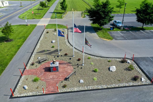
Fairlane Ave Park is a Located on S. Fairlane Ave., just south of W. Main Ave., this park offers fields for various sports, one of which is the beautiful Rager Football Field, home of the Myerstown Panthers. In addition to a ¾ mile walking path, the park offers a pavilion, playground, pickle ball courts, basketball courts and brand new bocci ball courts. SESI was tasked with land development, planning, design and surveying this property. The drone department surveyed the entire property around 9/9/2021. Later in 6/2/2022 the crew went out and got photos of the park from both ends.
Project Details
Acreage: 65 Acres
Address: 68 S Fairlane Ave,Myerstown PA 17067
Category: Surveying
Project Type: Aerial Drone LIDAR Survey
 Alcoa Embark Warehouse
Alcoa Embark Warehouse
Description:
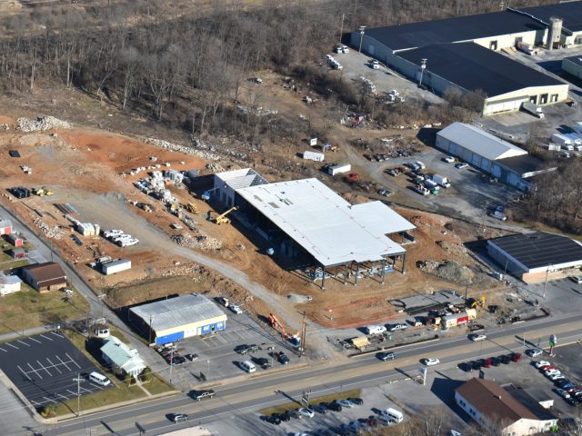
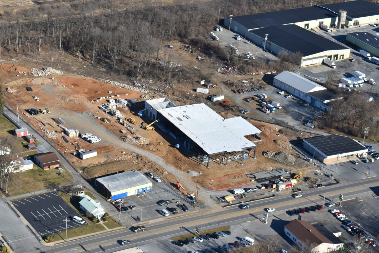
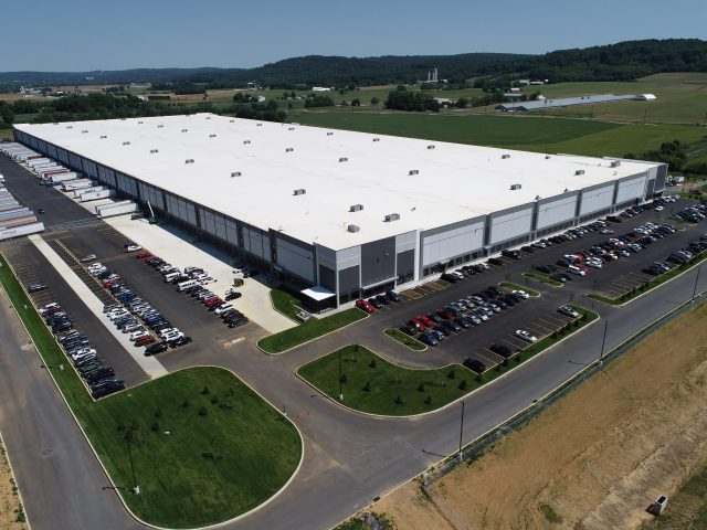
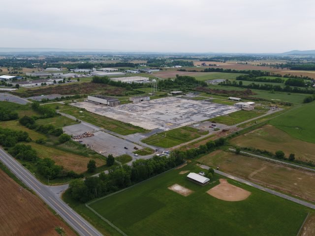
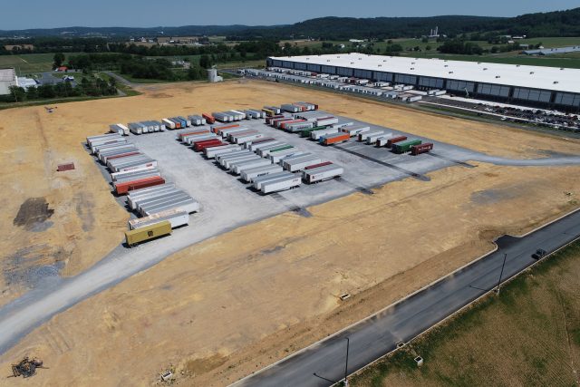
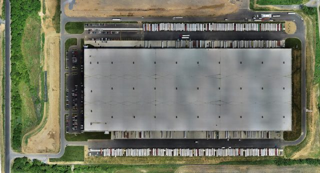
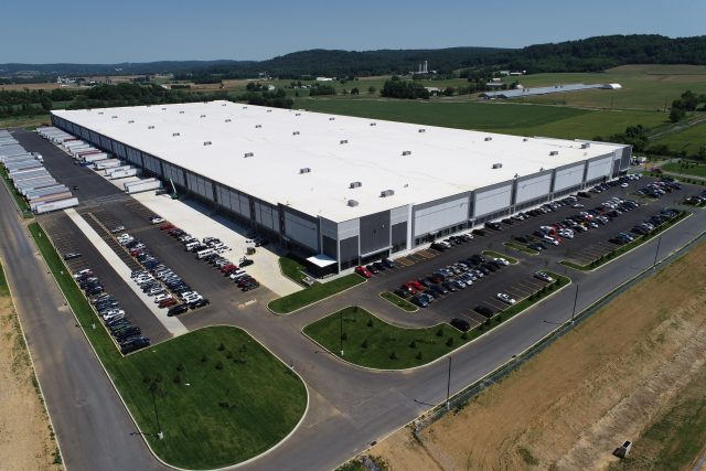
Alcoa Embark Warehouse was a very large project that SESI did for a couple companies. This project started with the demolition and reconstruction of an old Semi-truck trailer storage yard. This $88 million investment that is 970,000 square foot warehouse was a very large DHL. SESI was hired to do conventional ground surveying for the layout and initial planning of the site. The Drone department was tasked in getting initial topographic surveys, progressive site surveys, and As-Built surveys for the finished product. The drone crew flew the site 5 times with LIDAR to get accurate topo maps for the survey department. The drone crew was also tasked with weekly progress site monitoring. Video and photos were taken and sent to Project Managers that were out of state. The project site has another 570,000 square foot building going up soon that will also be flown regularly by SESI.
Highlights:
- 970,000 Square foot building survey
- Longest Running Drone Department Project
Project Details
Acreage: 250 Acres
Category: Surveying
Client: Arco National Construction and Warehaus
Project Type: Aerial Drone LIDAR Survey
 LVRT Phase 10b Aerial Survey
LVRT Phase 10b Aerial Survey
Description:
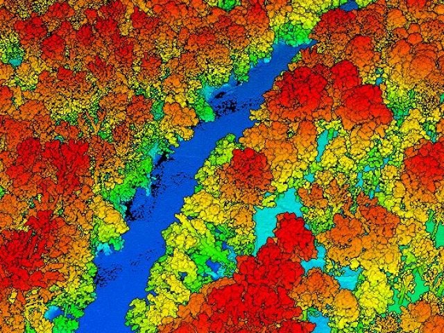
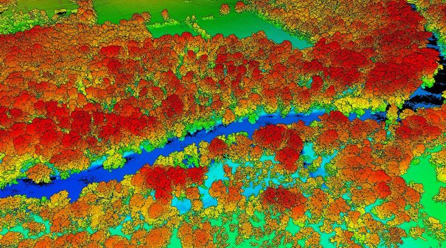
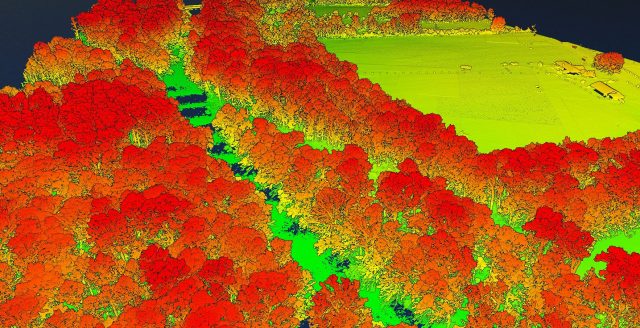
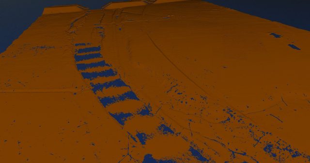
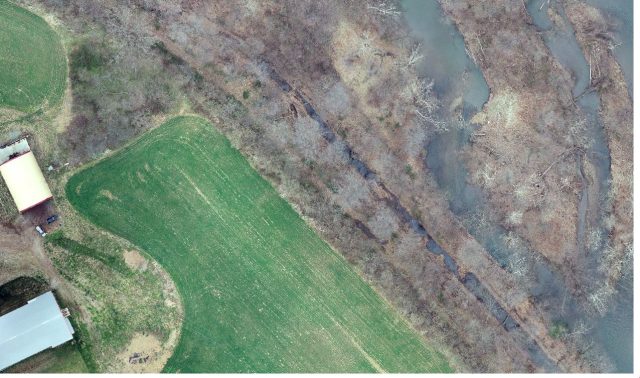
Lebanon Valley Rail Trial runs 14.93 miles from Cumberland Street and runs South to the Lebanon/Lancaster County line. Phase 10b included about 2.5 miles of the trail. This project required SESI drone team to capture over 420 acres of woods along the Swatara Creek to capture topographic data of the LVRT trail that needed to be restored. The leaves were off for this project and the date flown was on 3/25/2022. Leaves off is the best way for the LIDAR sensor to capture data under forest. This project required 5 separate flights which ended up collecting 5 billion LIDAR points and 3500 photos. This data was captured by the DJI M-300 RTK + DJI Zenmuse L1 LIDAR sensor. The data was used to create Digital Elevation models, contours, and high resolution imagery for tracing existing features.
Highlights:
- 4 Miles long Lebanon Valley Rail Trail
- Largest Creek LIDAR Project
Project Details
Acreage: 420 acres
Category: Surveying
Client: Wilson Consulting Group
Project Type: Aerial Drone LIDAR Survey
